
Hòn Một — đảo ven Bãi Thơm
Ngoài khơi ven Bãi Thơm, Đông Bắc Phú Quốc
Sightseeing in Bãi Thơm. Explore its location and nearby places to plan your time on the island.
About this place
- Area
- Bãi Thơm
- Address
- Ngoài khơi ven Bãi Thơm, Đông Bắc Phú Quốc
- Type
- Sightseeing
Destination location
Opening the map…
Hòn Một — đảo ven Bãi Thơm
Explore Hòn Một
On this page
A lone island with a plain name
Off Bãi Thơm, in the northeast corner of Phú Quốc, a small island sits alone on the water. Local people call it simply Hòn Một, "One Island", because it stands by itself in the sea, and fishermen here have called it that for generations. The name was once also that of a hamlet: Hòn Một hamlet and Bãi Thơm hamlet originally belonged to Hàm Ninh commune, and in 1979 were merged into Cửa Cạn commune.
The island covers about 6.7 hectares and lies roughly two hundred metres from the shore, most of it evergreen primary forest. There are no hotels and no shops on the island. You can walk the whole of it in a few dozen minutes, and the charm of Hòn Một lies exactly in being small and empty.
The way across, through the mangroves
From the Bãi Thơm shore, a narrow wooden bridge crosses the water to the island, starting from a few seafood restaurants on the shore; leave your vehicle on the shore. Before the bridge, the only way was a path that lay below the waterline. That path is still there: when the tide goes out, a natural stone path is exposed, threading through mangrove forest to join the island to the mainland, and many people choose to wade across it to experience it.
On both sides of the path are mangrove trees growing right in the seawater, their thick long roots set into the mud. Once on the island, sea morning glory grows thick, creeping over the trails. The old wooden bridge is where people stop most often to take photos.
Ten minutes to the far end of the island
A trail loops around part of the island, and it takes about ten minutes to reach the other end. Along the way are old trees, mangroves and rocky outcrops by the shore. In the shallow water there are starfish; look at them right where they are in the water, and do not lift them out. Offshore are fishing boats and the local people's fish weirs and traps. Looking back toward the mainland, you see the whole Bãi Thơm shore and the forested hills of the national park behind it; looking far out, on the horizon is part of Cambodia.
Local people often sit fishing on the rocky outcrops. You can also cast a line from the bridge or from the rocky shore, but there is nowhere on the island to rent tackle, so bring your own. In places where the water is clear and shallow, put on a mask and you will see coral and small fish.
Staying until morning
Hòn Một has a flat sandy beach with room to pitch tents. People bring tents and grilling gear, buy seafood at Bãi Thơm market, light a fire and grill right on the beach, then sleep over to watch the sun rise from the sea side. There are no services on the island, so anyone staying the night has to bring everything from the mainland.
The island is small and there is nobody to clean it. Visitors who have come since 2023 still talk about rubbish on the shore, so whatever you bring out, take back.
Quick answers before you go
How do I get to Hòn Một?
Go to Bãi Thơm first, about thirty-five kilometres from Dương Đông, following Nguyễn Trung Trực street north, or go around via Hàm Ninh fishing village on the coastal road. Park on the shore, by the seafood restaurants, then walk across the wooden bridge to the island. At low tide you can wade along the stone path through the mangroves; ask local people about the tide times before you go down.
Can I swim at Hòn Một?
The water around the island is shallow and rocky, with the local people's fish weirs, traps and old fishing gear, so it is not a place to swim. To see coral, put on a mask where the water is clear, wear shoes you can walk in on wet rock, and do not step on coral.
Which season and time of day should I go?
November to April is the dry season, warm and sunny, with little rain and a calm sea. During the day, go in the early morning or late afternoon to keep cool. If you go in the rainy season, bring a raincoat and check the weather first, because the weather out at the island can differ from the mainland.
Where do I eat?
There are no restaurants on the island. The seafood restaurants are right on the shore at the end of the wooden bridge, among them Biển Dừa; ask the price of the seafood before they prepare it. If you want to grill on the island, buy fresh seafood at Bãi Thơm market.
What should I bring?
Drinking water, snacks, sunscreen, a hat, sunglasses, a thin jacket and sandals or beach shoes. If you stay overnight, add a tent, grilling gear and a bag to carry your rubbish out.
phuquocbooking.vn
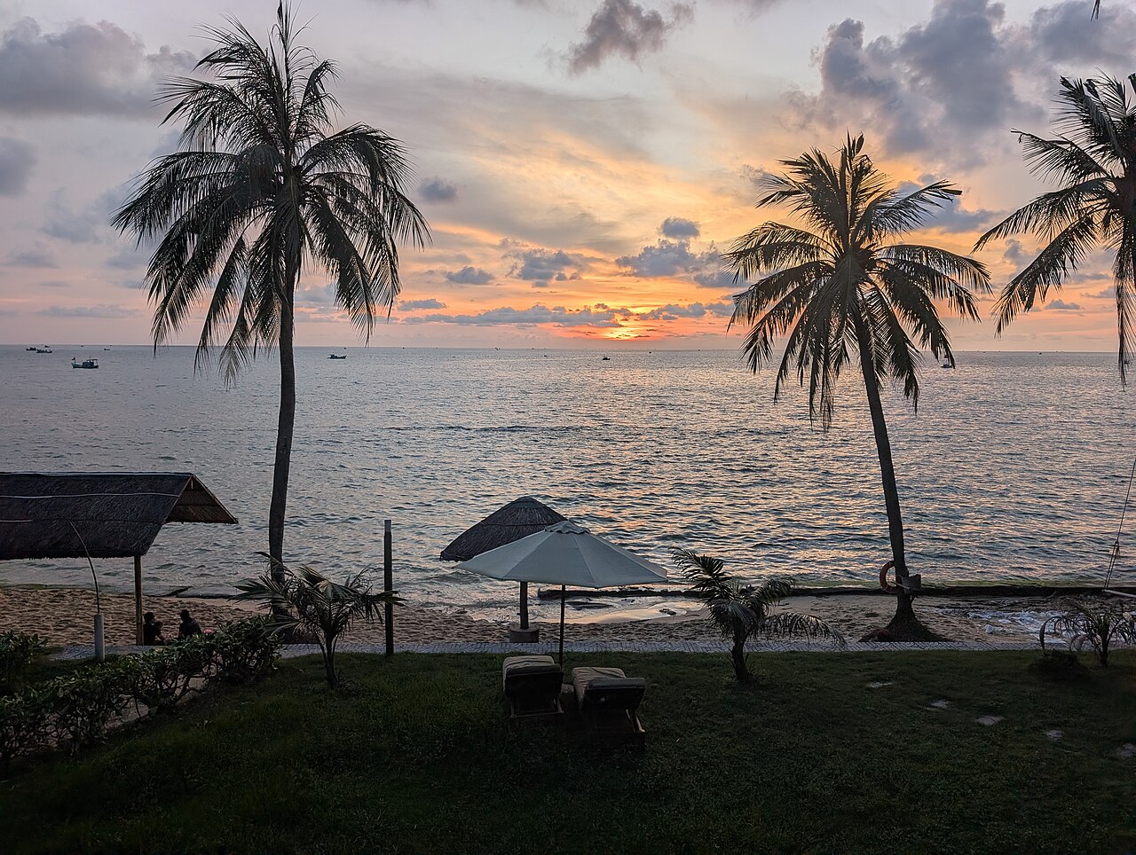
When to visit Phú Quốc for the holiday you have in mind
Every season offers a different way to enjoy the island. Choose your timing around the sea, the forest, the afternoons and the days of rest you are looking forward to.
Read the storyArticle information / Sources
Checked on 31 October 2026. The path, the tides and the restaurants may change; ask local people at Bãi Thơm before you go out to the island.
- Sun Paradise Land — name tied to its lonely position in the sea, called so by fishermen over generations; ~6.7 ha, ~200 m from the shore, primary forest; stone path at low tide threading through mangroves; small wooden bridge when the water has not receded; old wooden bridge, rocky shore for photos; camping, campfire, grilled seafood; snorkelling to see coral; dry season 11-4; early morning or late afternoon; what to bring
- VinWonders — over 6.7 ha, mostly primary forest; sea morning glory covers the trails; mangroves growing in the sea with thick long roots; wooden bridge joins Phú Quốc and Hòn Một; formerly only a path under the sea, still passable now; snorkelling to see coral; fishing from the bridge, rocky shore, bring own gear; no hotels, no large restaurants; buy seafood at Bãi Thơm market; camping bringing own gear; dry season 11-4; bring a raincoat in the rainy season; weather at the island can differ
- VinWonders — part of Cambodia visible in the distance; overnight camping to watch sunrise; two routes from Dương Đông (Nguyễn Trung Trực ~35 km, or via Hàm Ninh); Biển Dừa restaurant nearby
- Phu Quoc Island Guide — ~7 ha, ~200 m off the Bãi Thơm shore; at low tide take the stone path through mangroves, at high tide the narrow wooden bridge starting near the seafood restaurants; park on the shore; trail loops part of the island, ~10 min to the other end; old trees, mangroves, rocky shore; starfish in shallows, do not lift them; fishing boats, fish weirs and traps offshore; view back to the Bãi Thơm shore and the national park's forested hills; locals fish on the rocks; not advisable to swim (shallow, rocks, fish weirs, abandoned fishing gear); rubbish the main problem according to 2023-2026 reviews; ask seafood prices first; restaurants Biển Dừa, Ngọc Điệp, Thanh Nga Hòn 1
- Vietnamese Wikipedia — Bãi Thơm hamlet and Hòn Một hamlet of Hàm Ninh commune merged into Cửa Cạn commune in 1979
- VinWonders — wooden bridge at low tide, boat when the tide is in; fishing, camping on Hòn Một
- foody.vn — places that rent out tents and organise camping
- vinpearl.com — general description
Continue exploring
Stops you can add to your day of exploring.
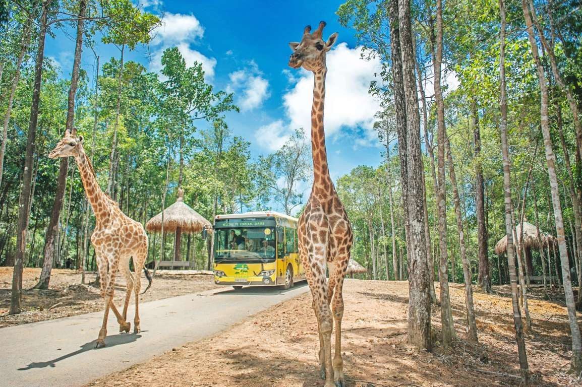
Vinpearl Safari Phú Quốc
Zoo / safari in Gành Dầu. Explore its location and nearby places to plan your time on the island.
Explore this place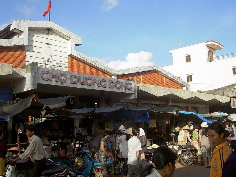
Chợ Dương Đông — Trần Phú
Market with food stalls in Dương Đông / Trần Phú. Explore its location and nearby places to plan your time on the island.
Explore this place